
November 25, 2008
| Building Yourself Into Somebody >>
Transit Pretty
I’ve got two fun US transit infrastructure data visualizations for you.
(Beat.)
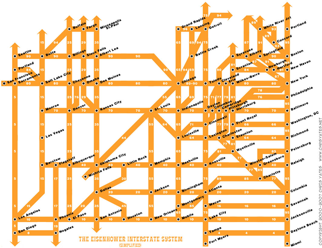
OK, everyone that’s still here, check this out: a highway system map done in the style of a subway system map (from mathowie) | a hypothetical high-speed rail map with transit time estimates.


Comments
That interstate map actually seems weirdly useful. I'd keep one of those in my car!